In the past, Mount Everest expeditions relied on luck. Today, sophisticated satellite forecasting has made reaching the Mount Everest summit safer. Meteorologists use real-time data to pinpoint the exact hours when the winds will drop.
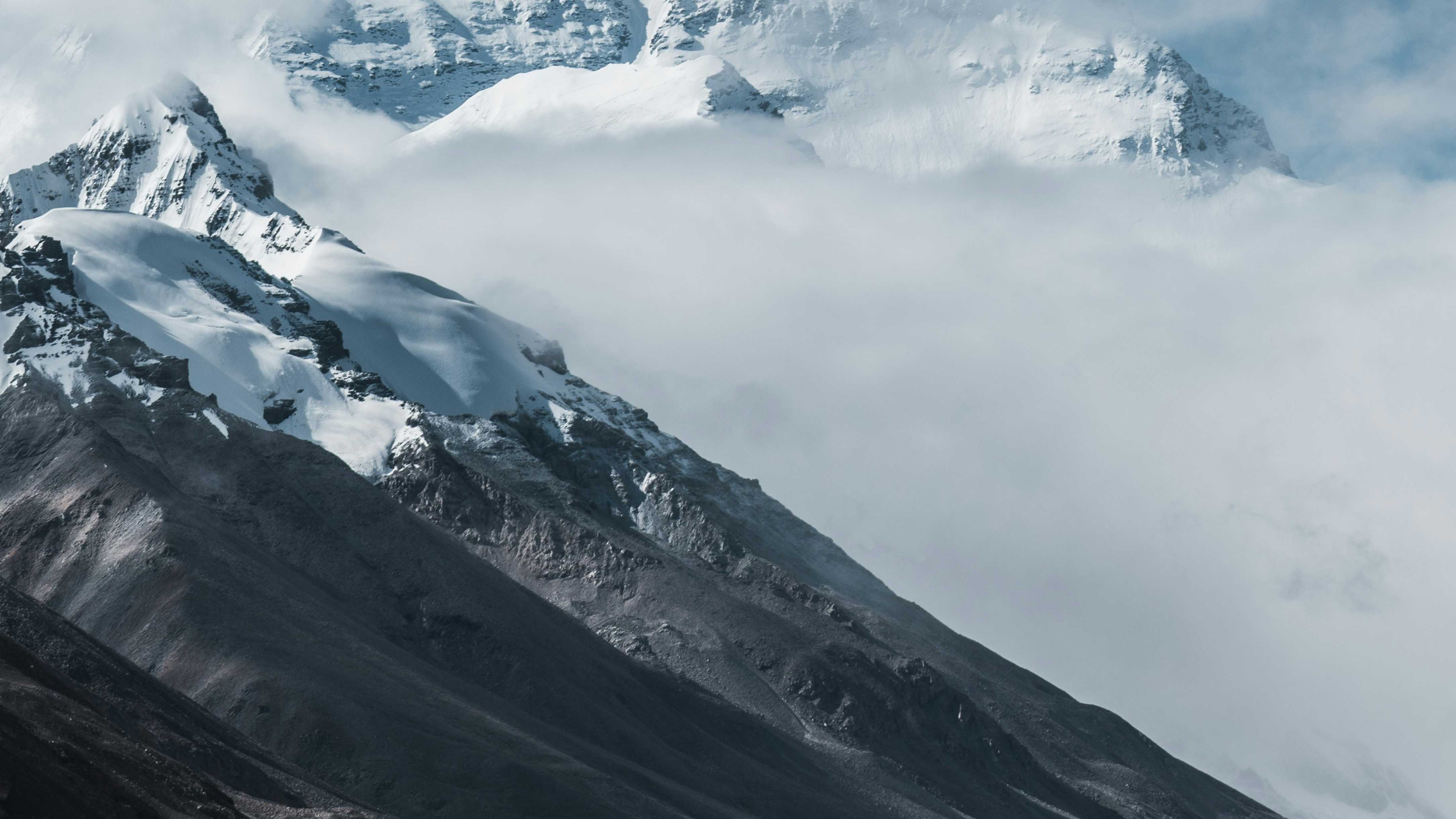
Satellites monitor the high-speed winds that batter the Mount Everest summit. Expedition leaders wait for the 'summit window'—a brief period when the jet stream moves away. This precision is the backbone of modern Everest trekking peaks.
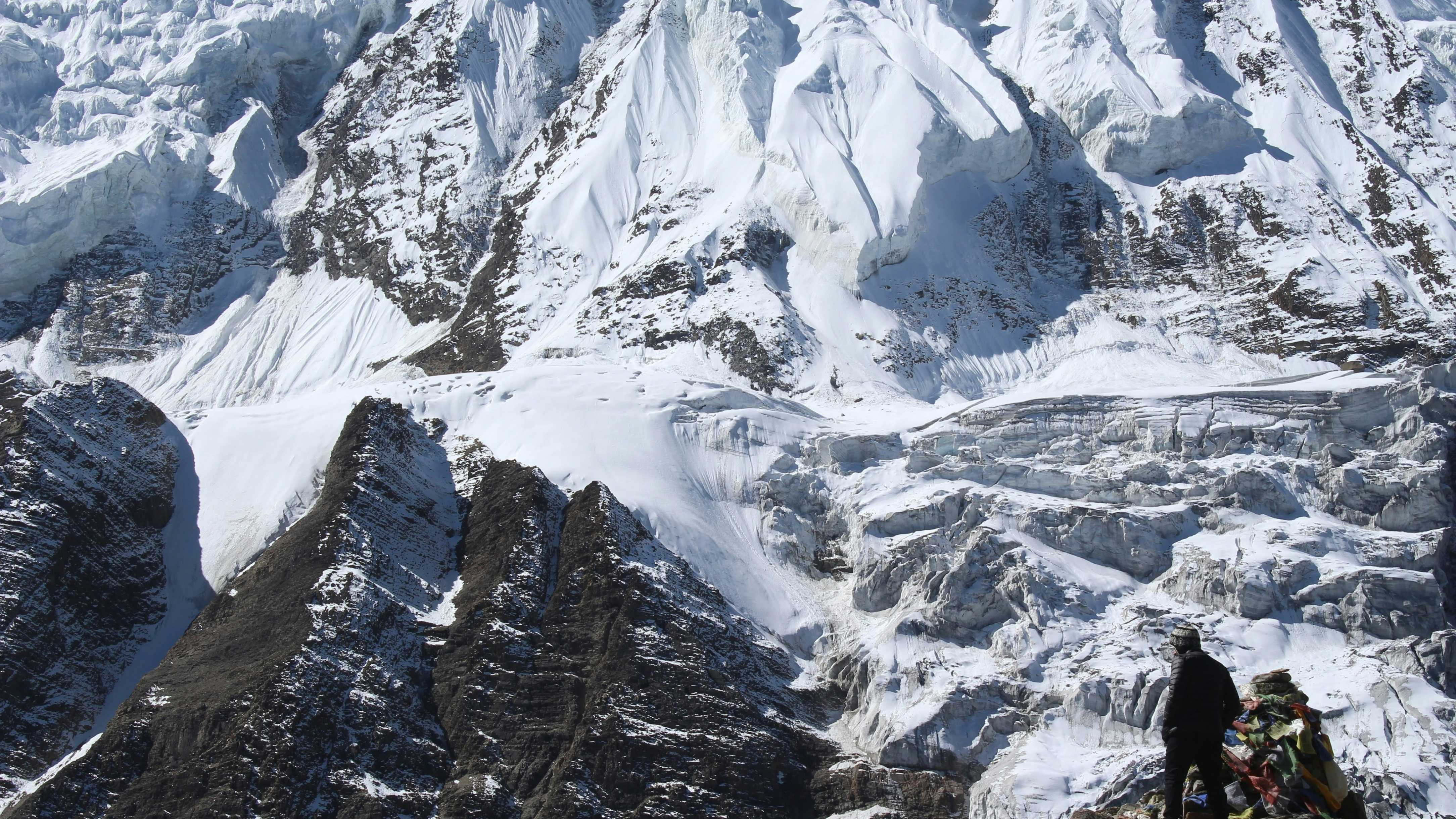
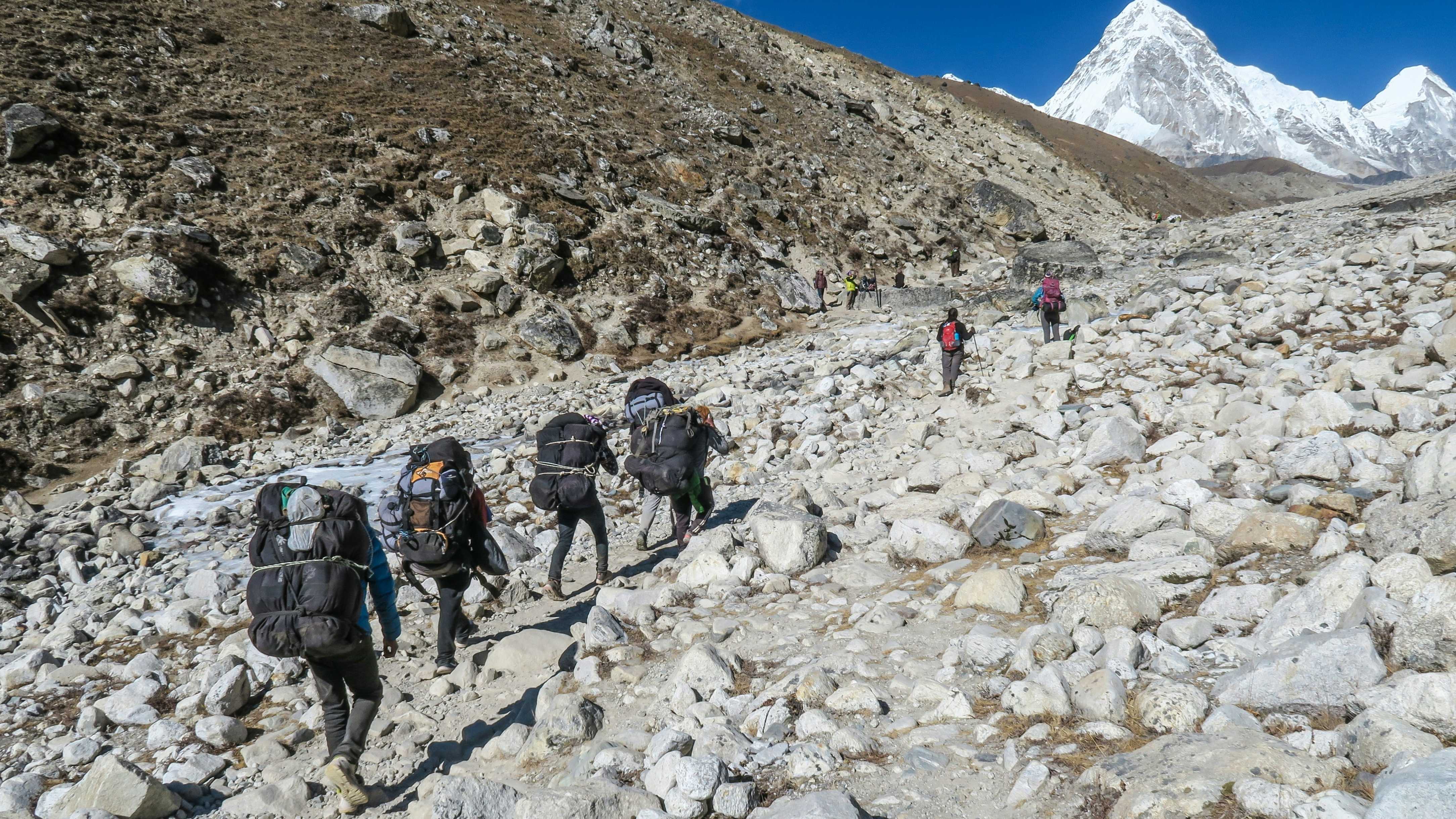
The topography of the Khumbu valley creates its own weather. Advanced modeling helps Mount Everest expedition teams predict localized storms that could trap climbers on the Lhotse Face or near Everest Base Camp.
Updates are sent via satellite text to high camps. Knowing a storm is 6 hours away allows a Mount Everest summit team to descend to safety before the weather turns. It is the ultimate life-saving technology.
While the mountain is still unpredictable, satellite tech has tilted the odds in favor of the climber. Trust the data to ensure your Mount Everest expedition ends in a safe return.