The Mount Everest summit is the international border between Nepal and China. From the top, a Mount Everest expedition offers a unique vantage point of two vastly different geographical worlds.
To the North, the landscape transforms from the jagged peaks of Nepal into the vast, rolling brown plains of Tibet. It is a stark contrast to the deep green valleys seen earlier in the Everest trekking approach.
From the Mount Everest summit, you can see Cho Oyu and Shishapangma in Tibet. It is the only place on Earth where you can look *down* on almost every other giant of the Himalayas during your expedition.
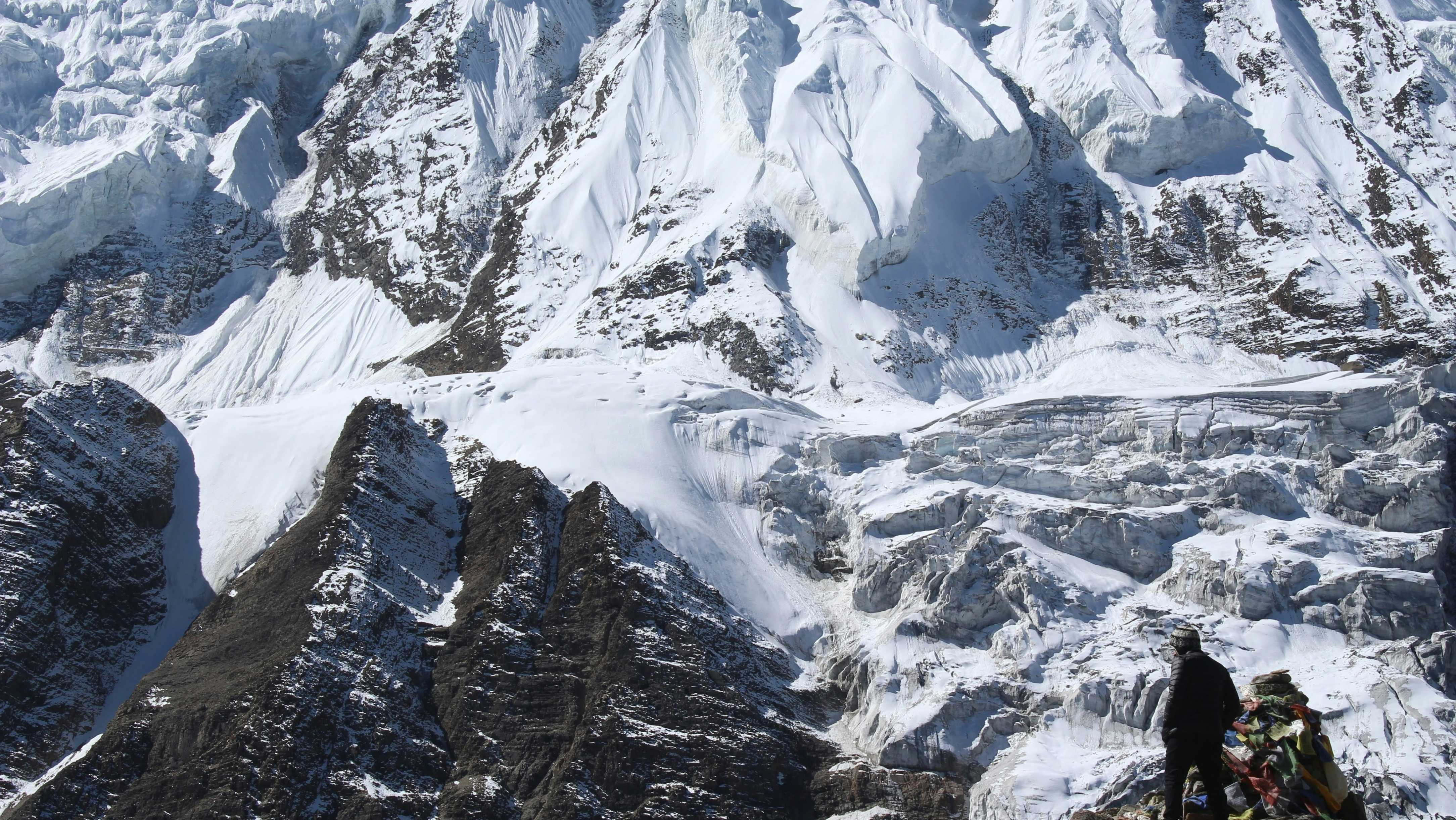
Far below the North Face lies the Rongbuk Glacier and the original Mount Everest expedition base camp used by the British in the 1920s. It’s a bird’s eye view of mountaineering history.
The view from the Mount Everest summit is not just beautiful; it is a lesson in geography and history. It is the reward for the ultimate Mount Everest expedition.