Looking at a map of the Khumbu helps visualize the challenge. The route to Everest Base Camp is a steady climb northwards towards the Tibetan border and the Mount Everest summit.
This section follows the Dudh Koshi river. It involves crossing suspension bridges and the famous steep climb up to Namche Bazaar. It is the gateway to the Everest trekking region.
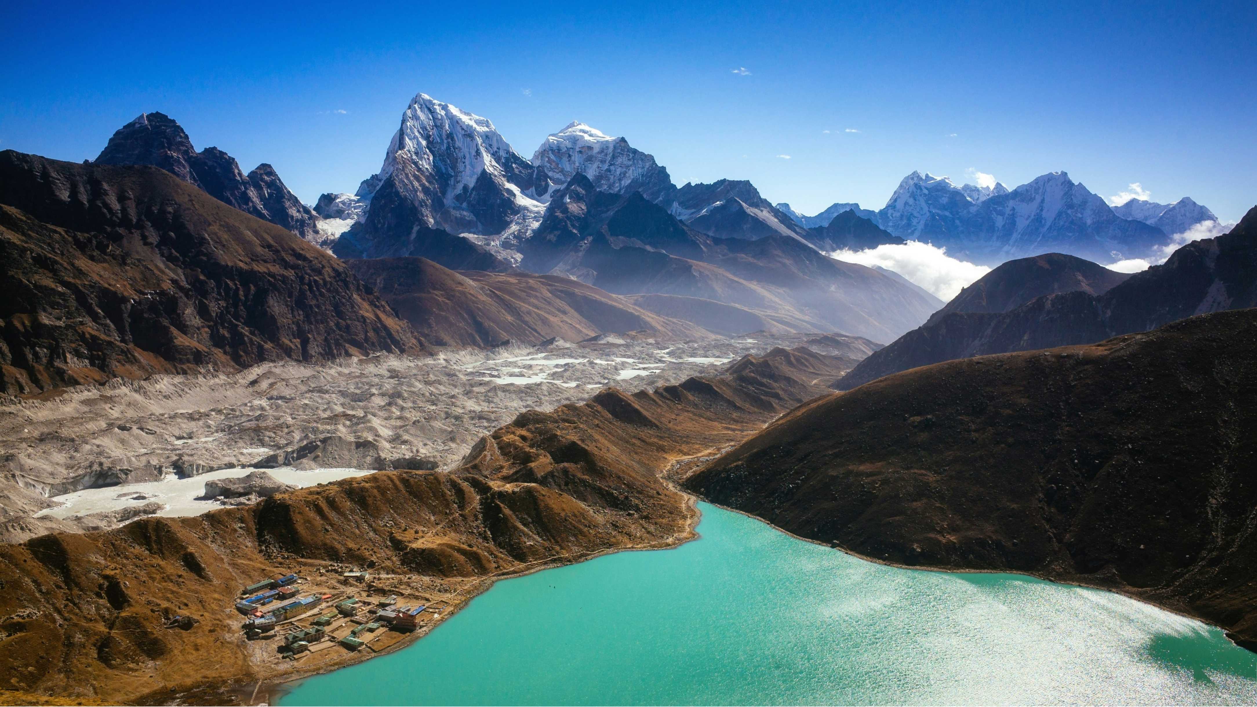
At Sanasa, the trail splits. Right goes to Tengboche and Base Camp. Left goes to Gokyo. Understanding this junction opens up options for circular routes on your expedition.
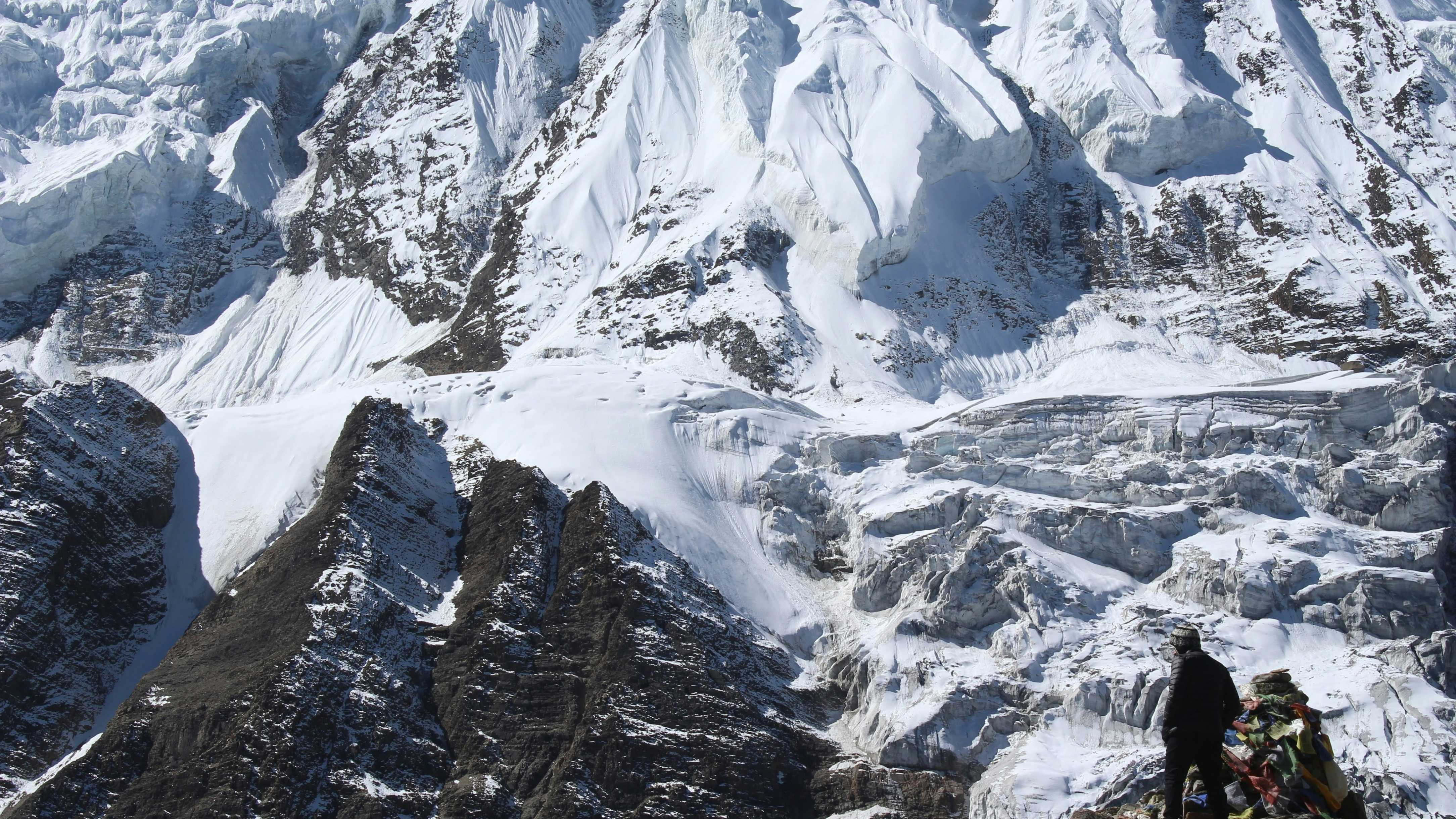
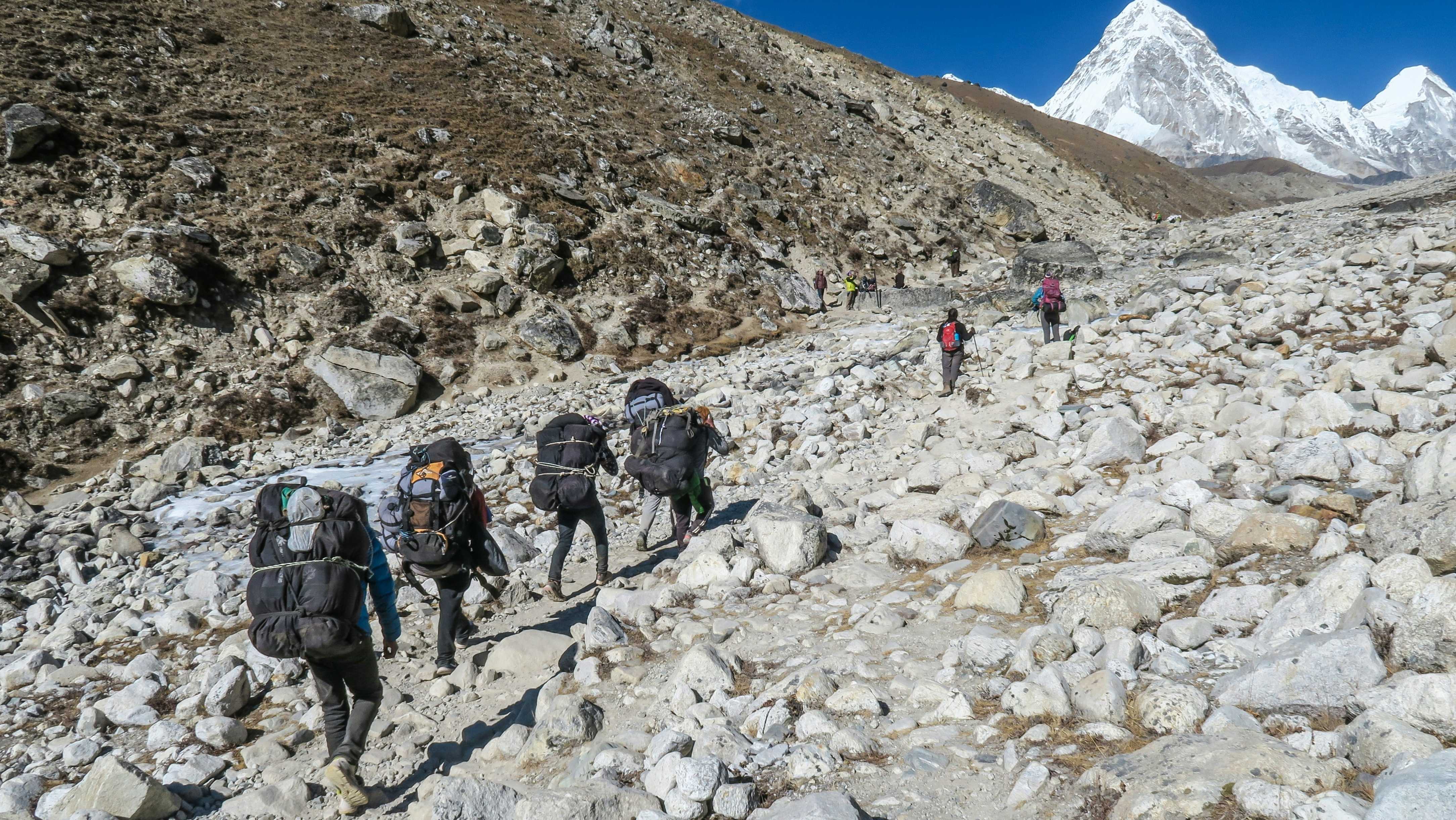
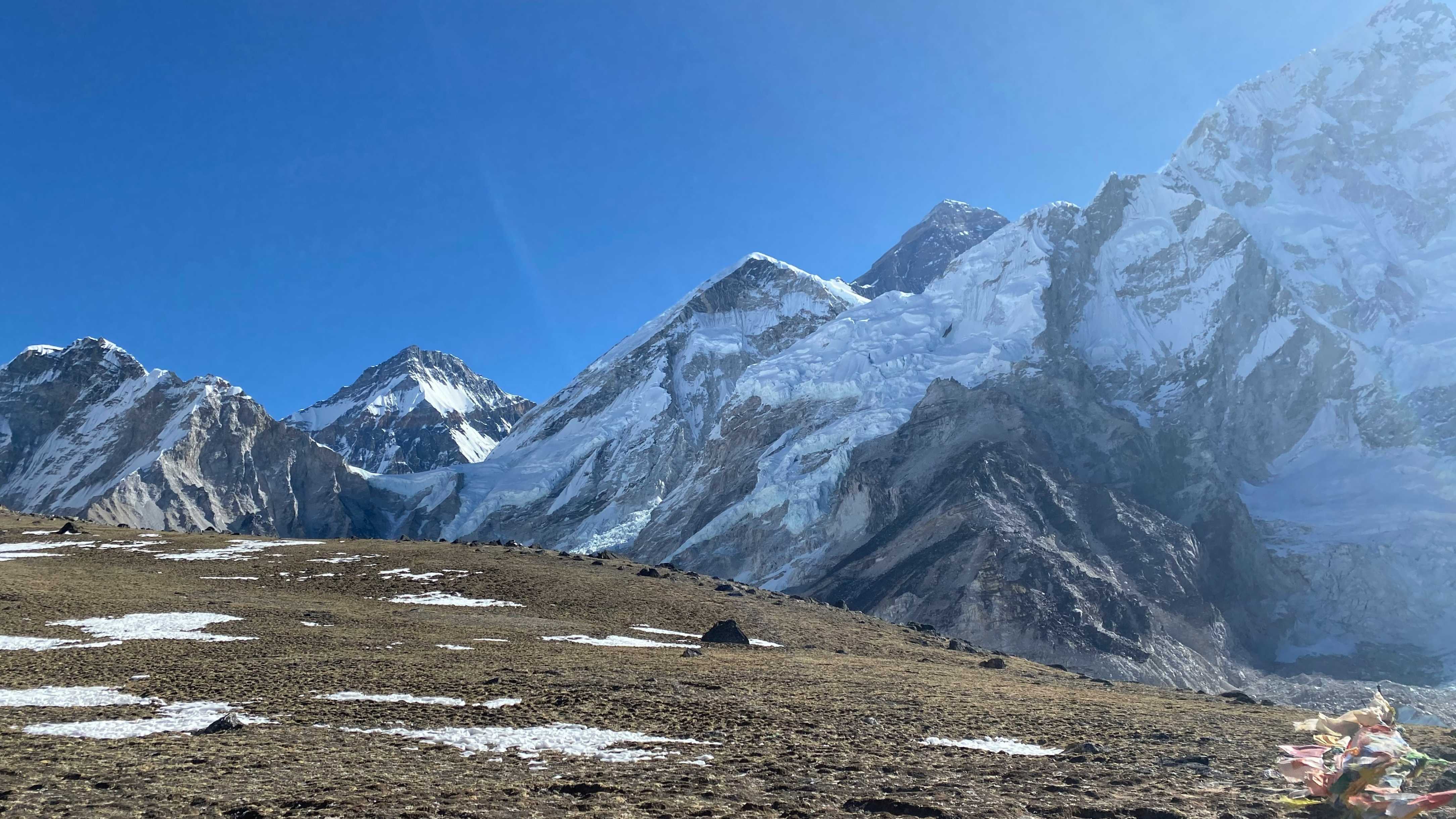
Above Dingboche, the trees disappear. You enter the glacial valley. The map shows the trail running alongside the Khumbu Glacier, leading straight to the foot of the Everest summit.
While trails are marked, having a physical map or GPS app is essential. It helps you track progress and identify the peaks around you.